Welcome to IRSAI
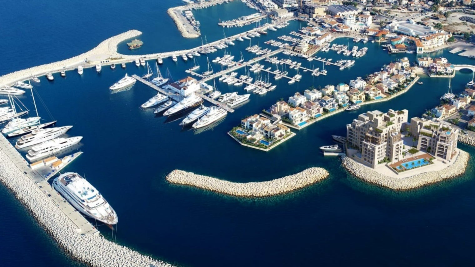
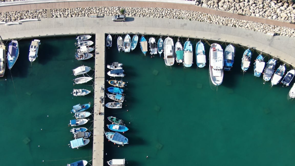
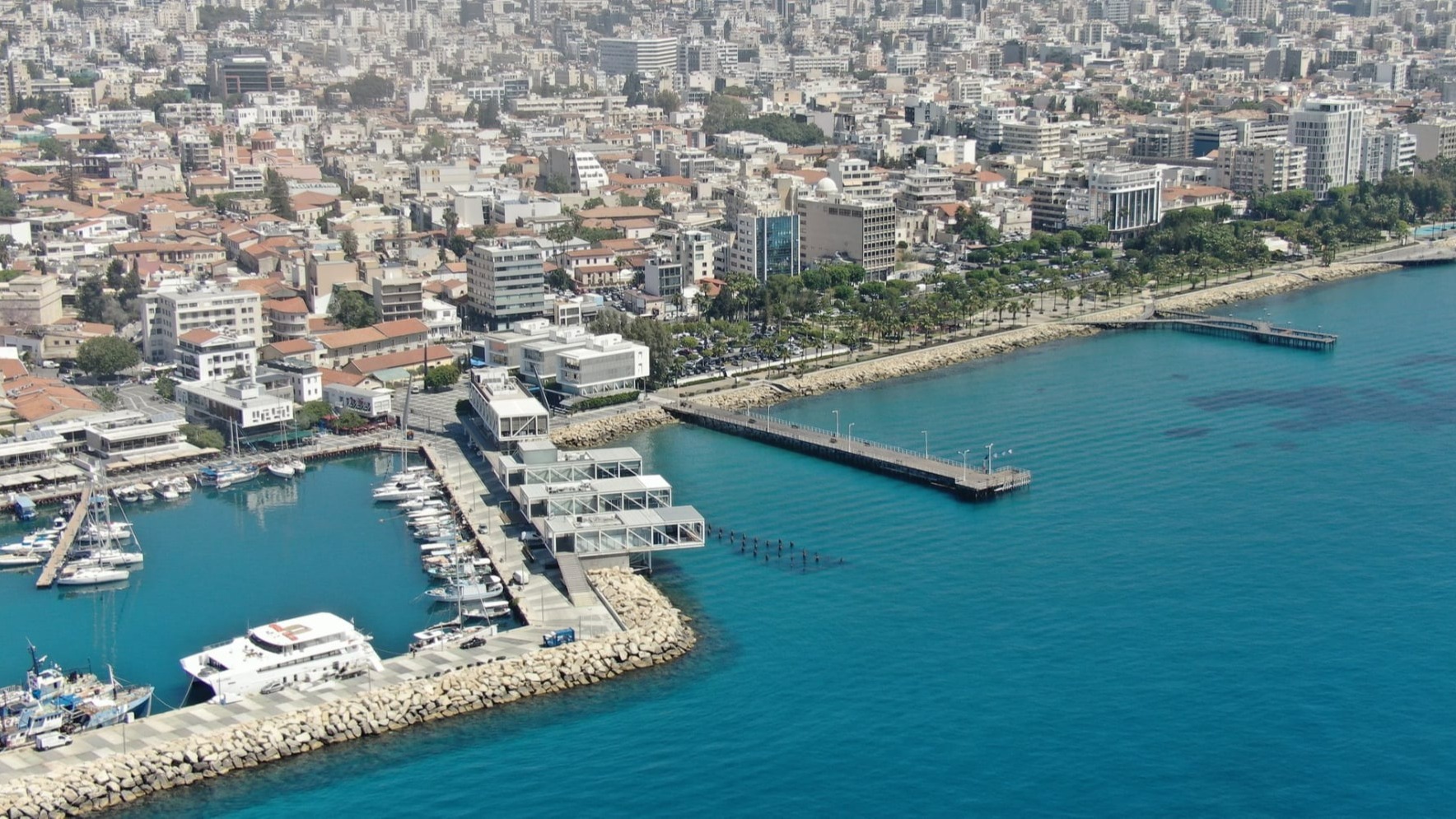
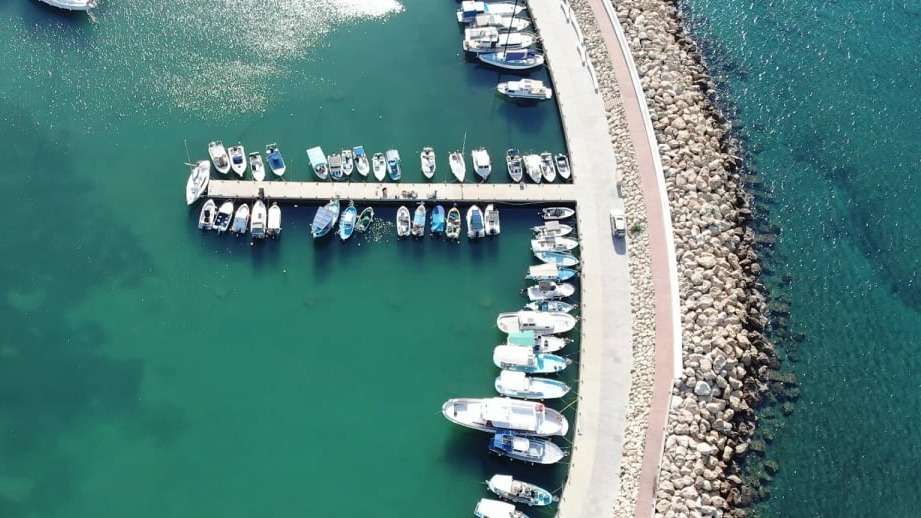
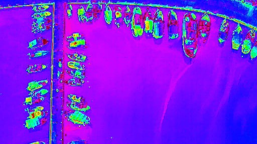
Integrating Remote Sensing and Artificial Intelligence (IRSAI) is a system that tracks nautical activity throughout Limassol Bay.
Integrating Remote Sensing and Artificial Intelligence (IRSAI) is a system that tracks nautical activity throughout Limassol Bay.
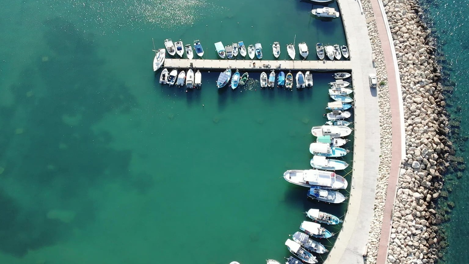
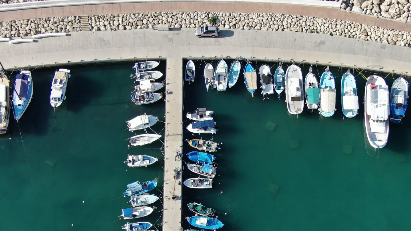
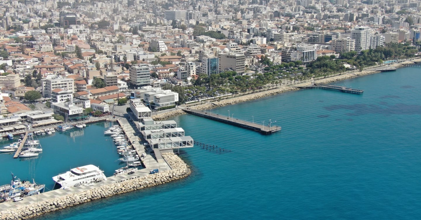
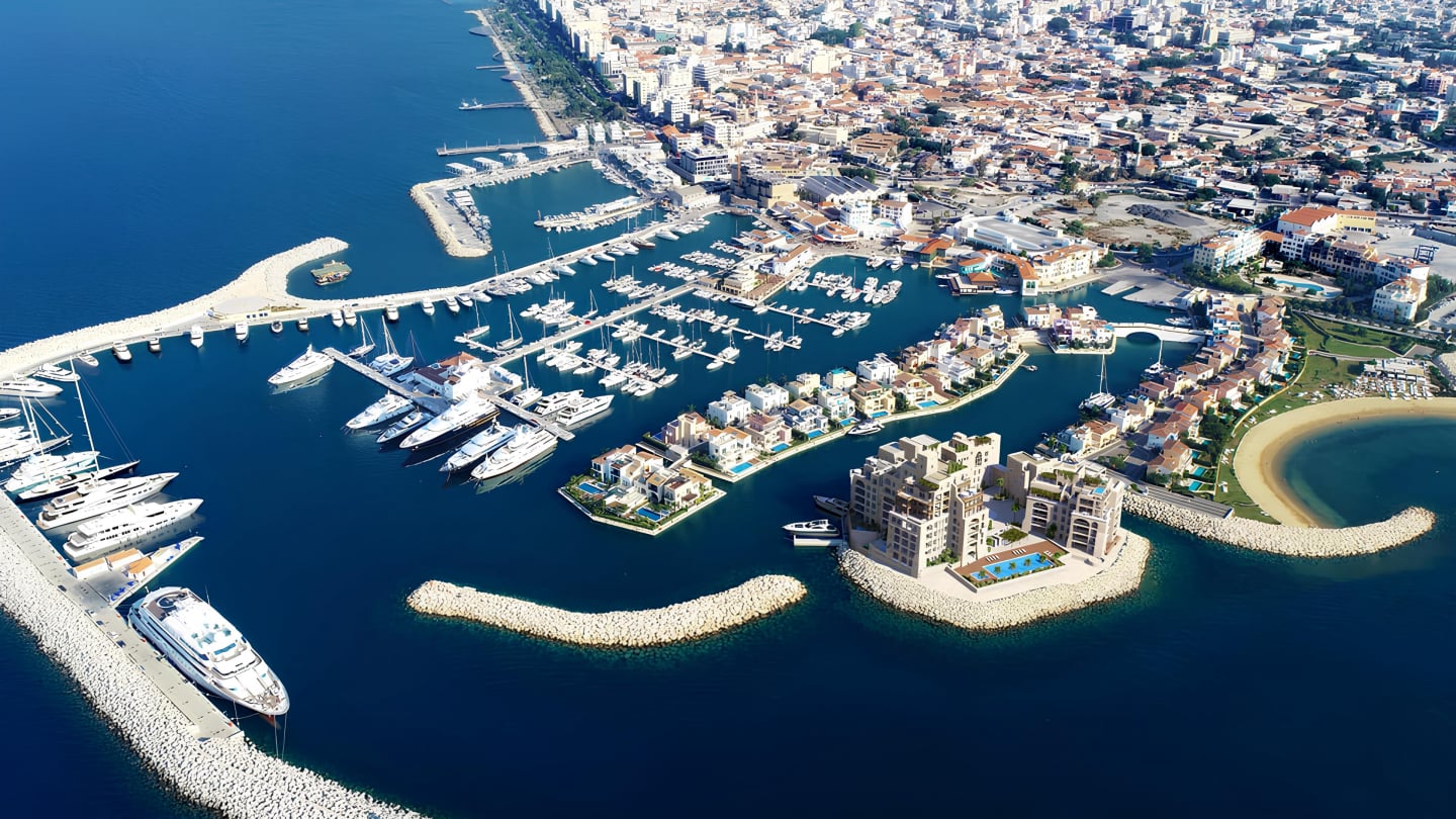
Gallery of IRSAI

A tactical Unmanned Aerial Vehicle to effectively survey Limassol port, anchorage area and wider Limassol Bay area.

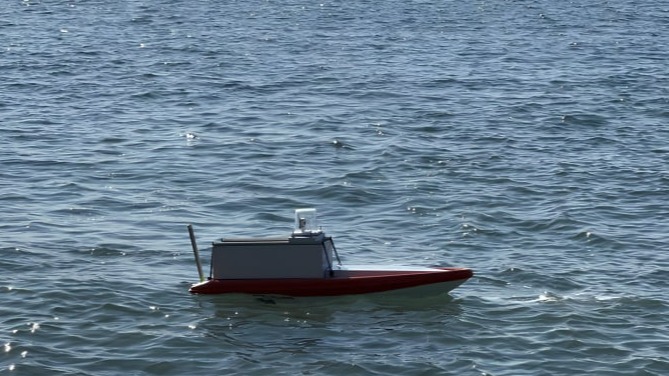
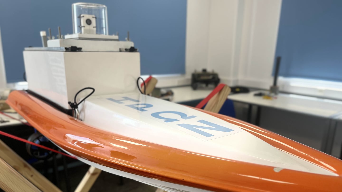
A tactical Unmanned Surface Vehicle with a sampler to travel to pollution site, check for oil and collect water samples.

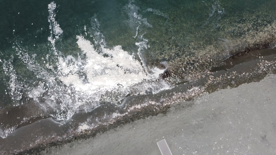
An advanced environmental monitoring system to efficiently collect and analyse spatial pollution data, enhancing the accuracy of pollution prediction and response in maritime areas.


Email : info@merresearch.com
Phone : +357 99 527679
+357 25 636700
© Copyright 2025 IRSAI - All Rights Reserved

Follow us!